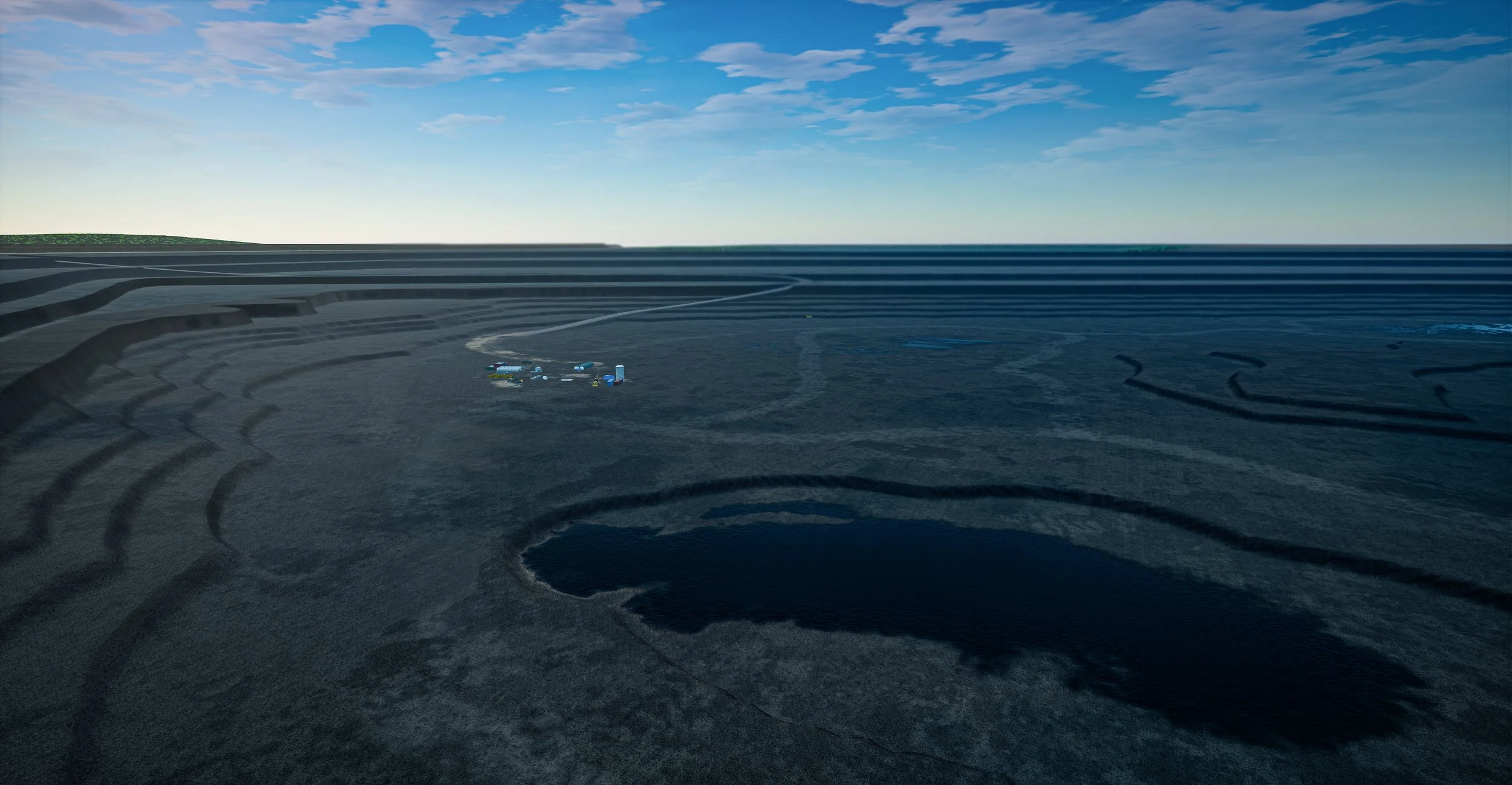
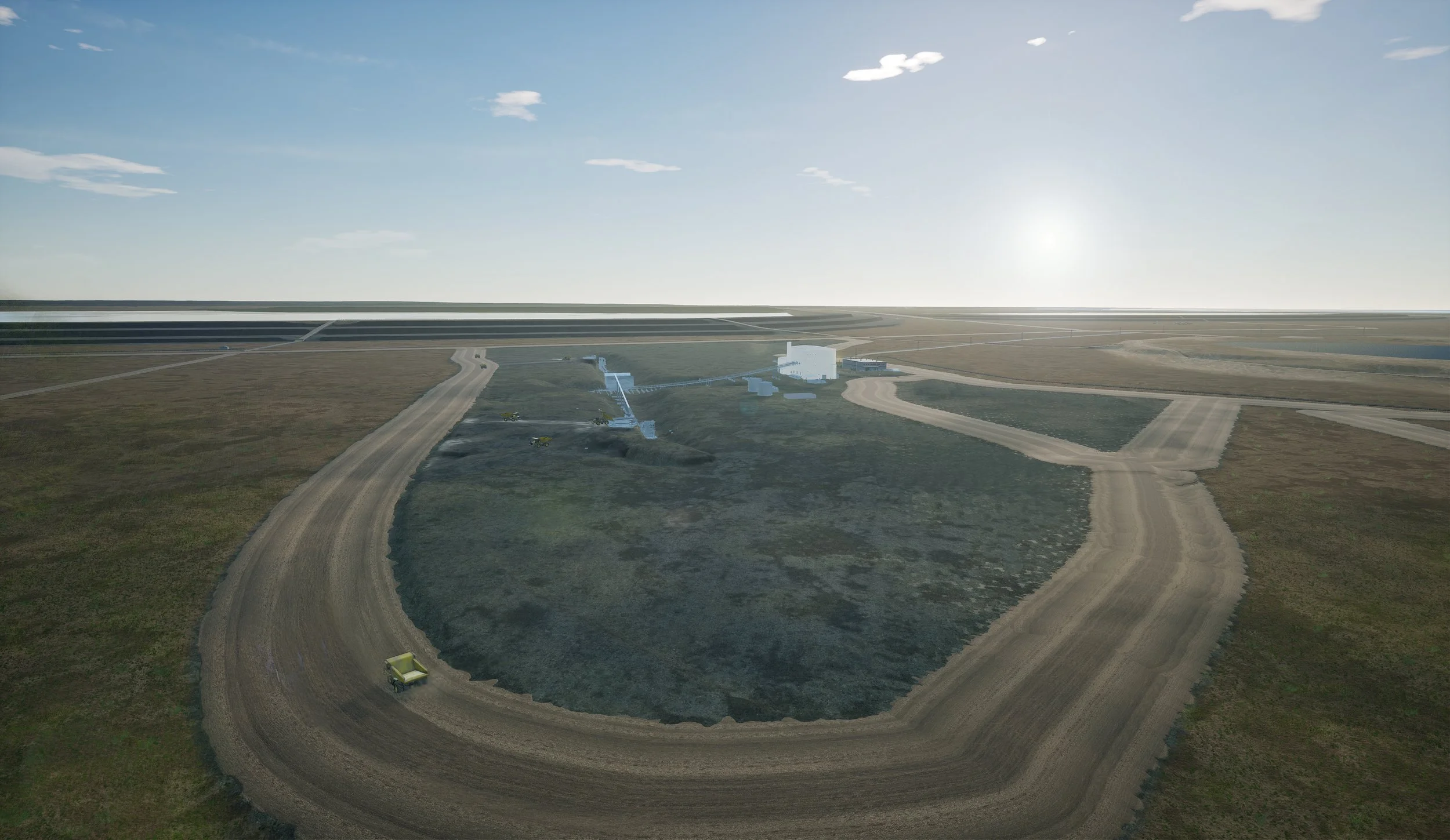
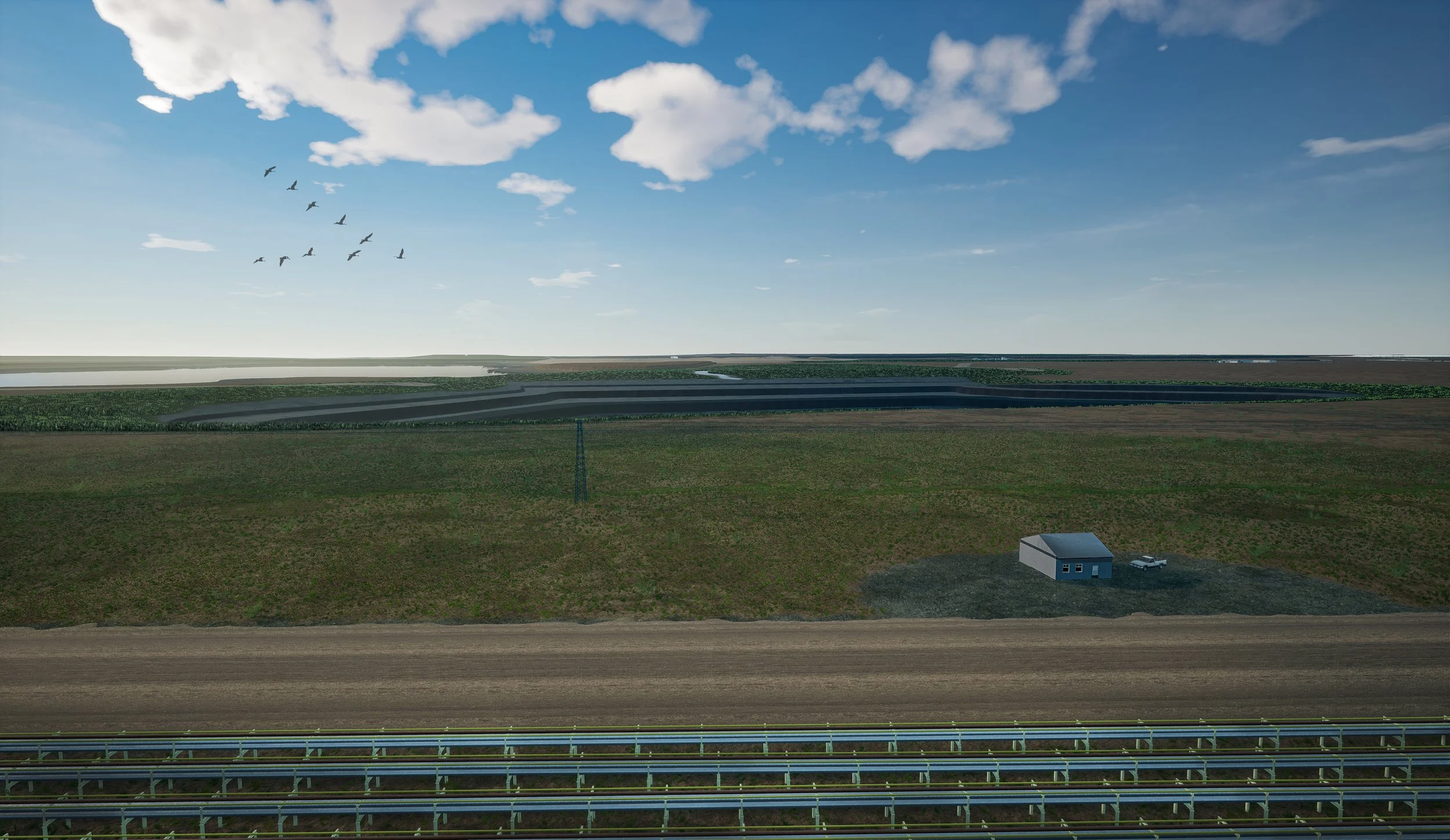
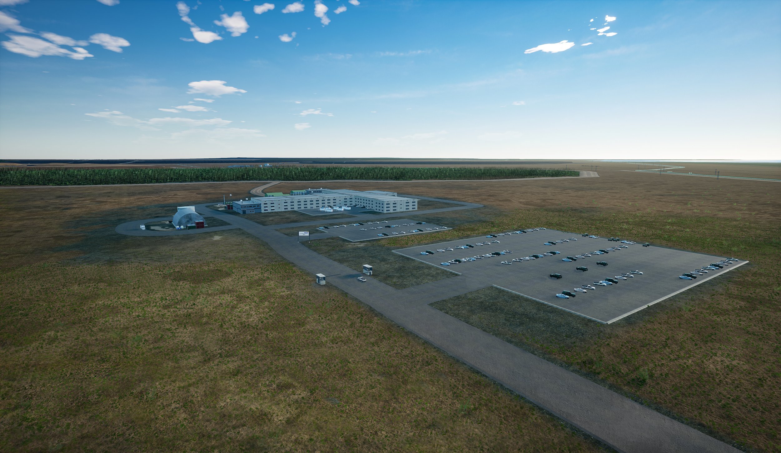
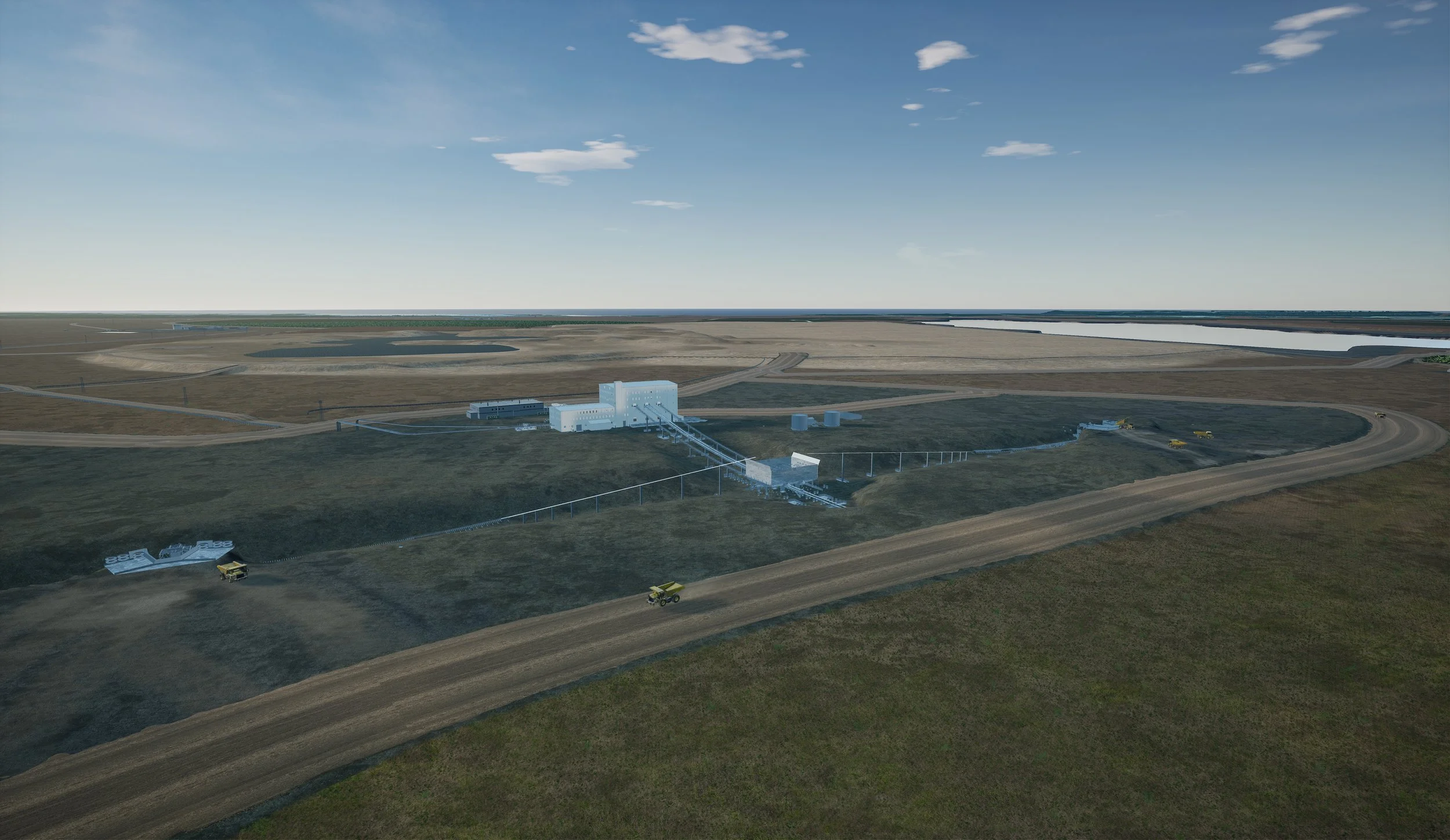
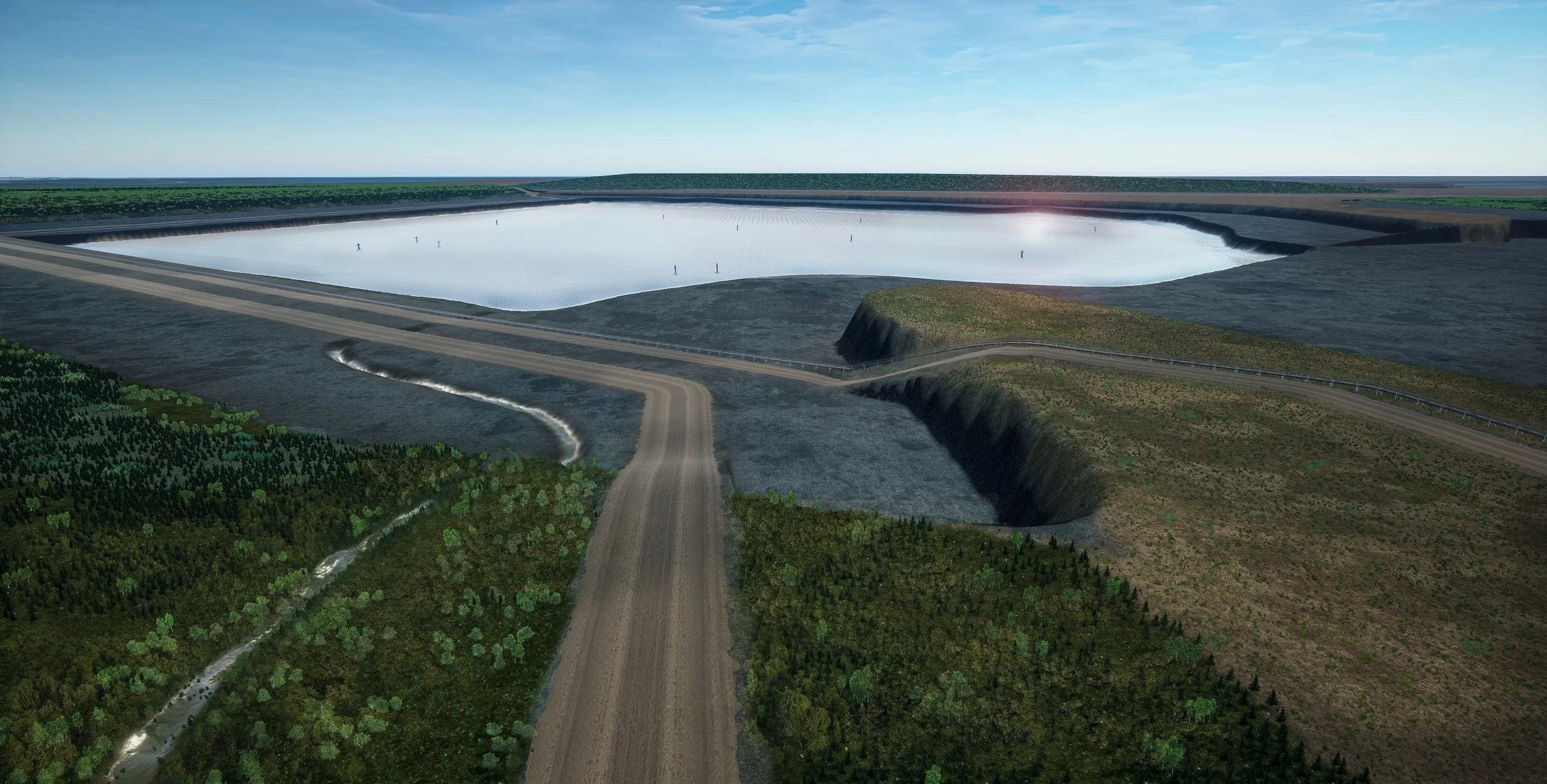
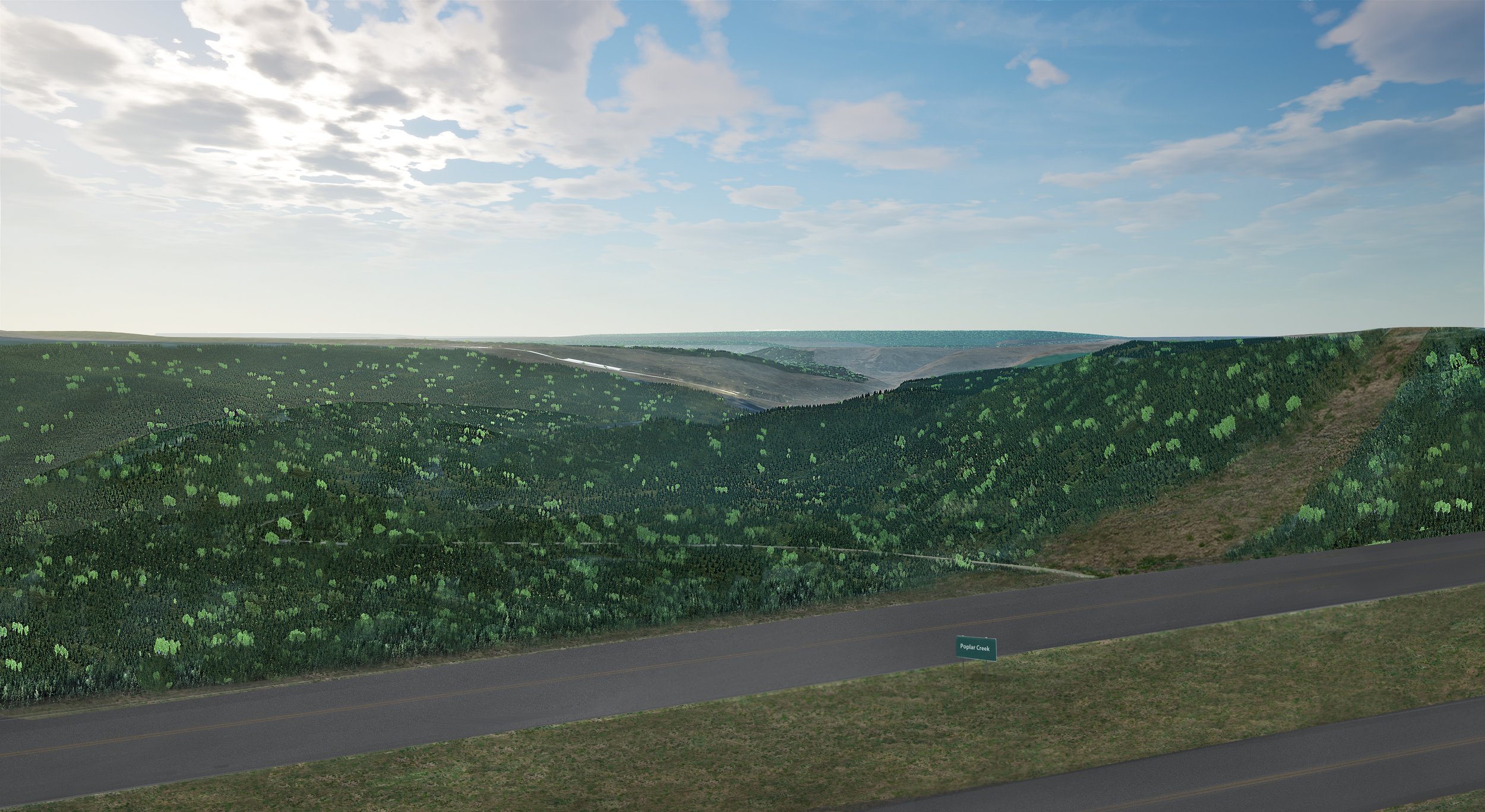
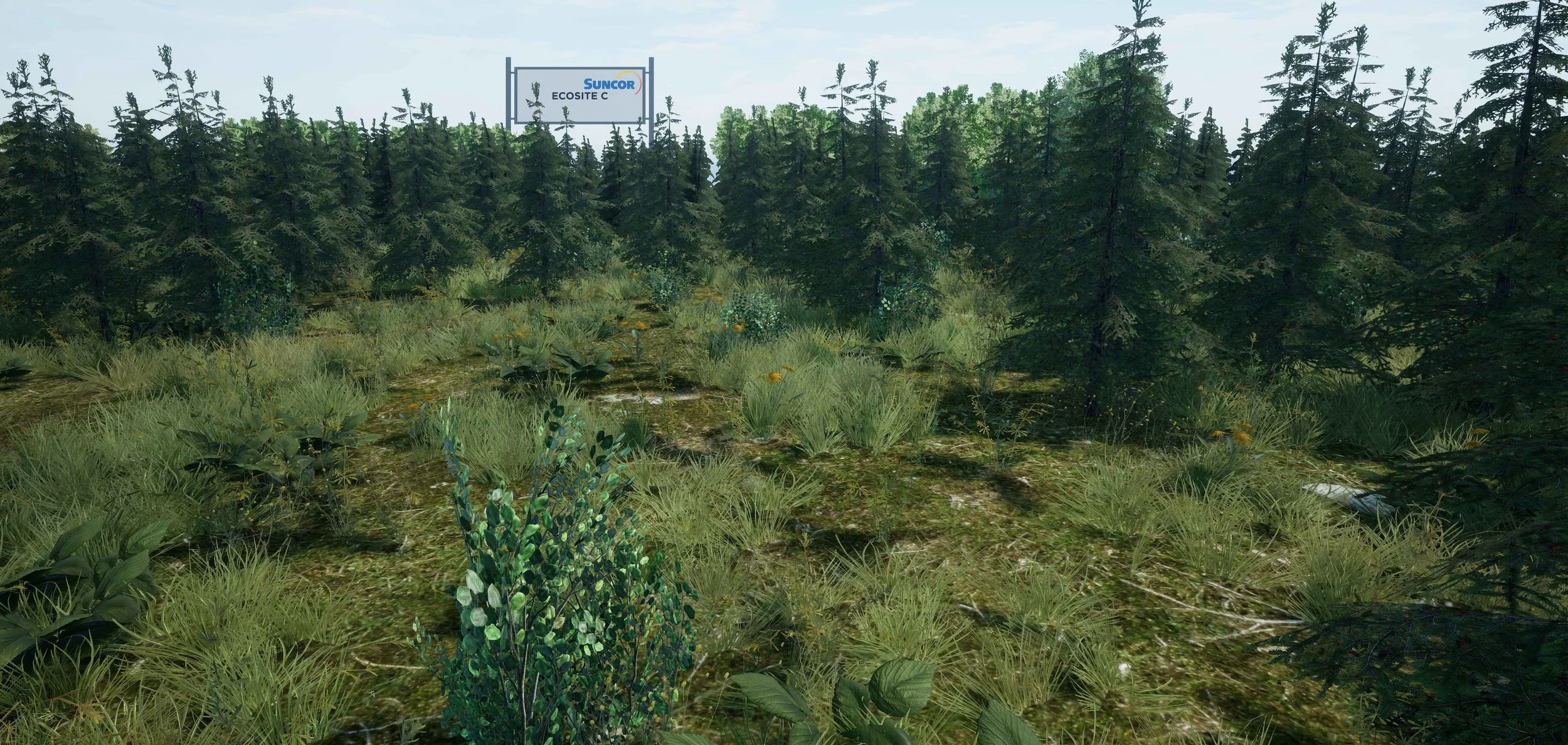
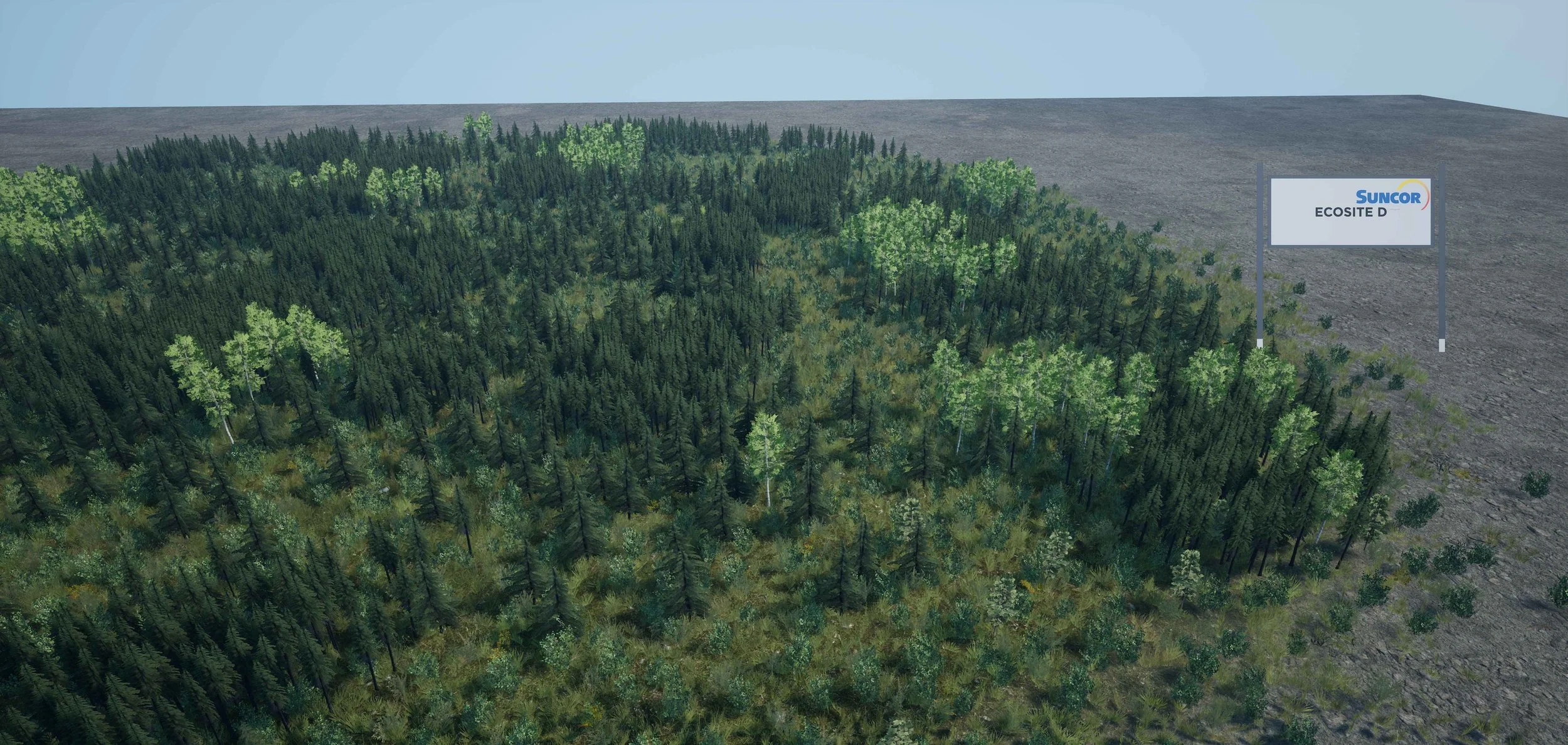
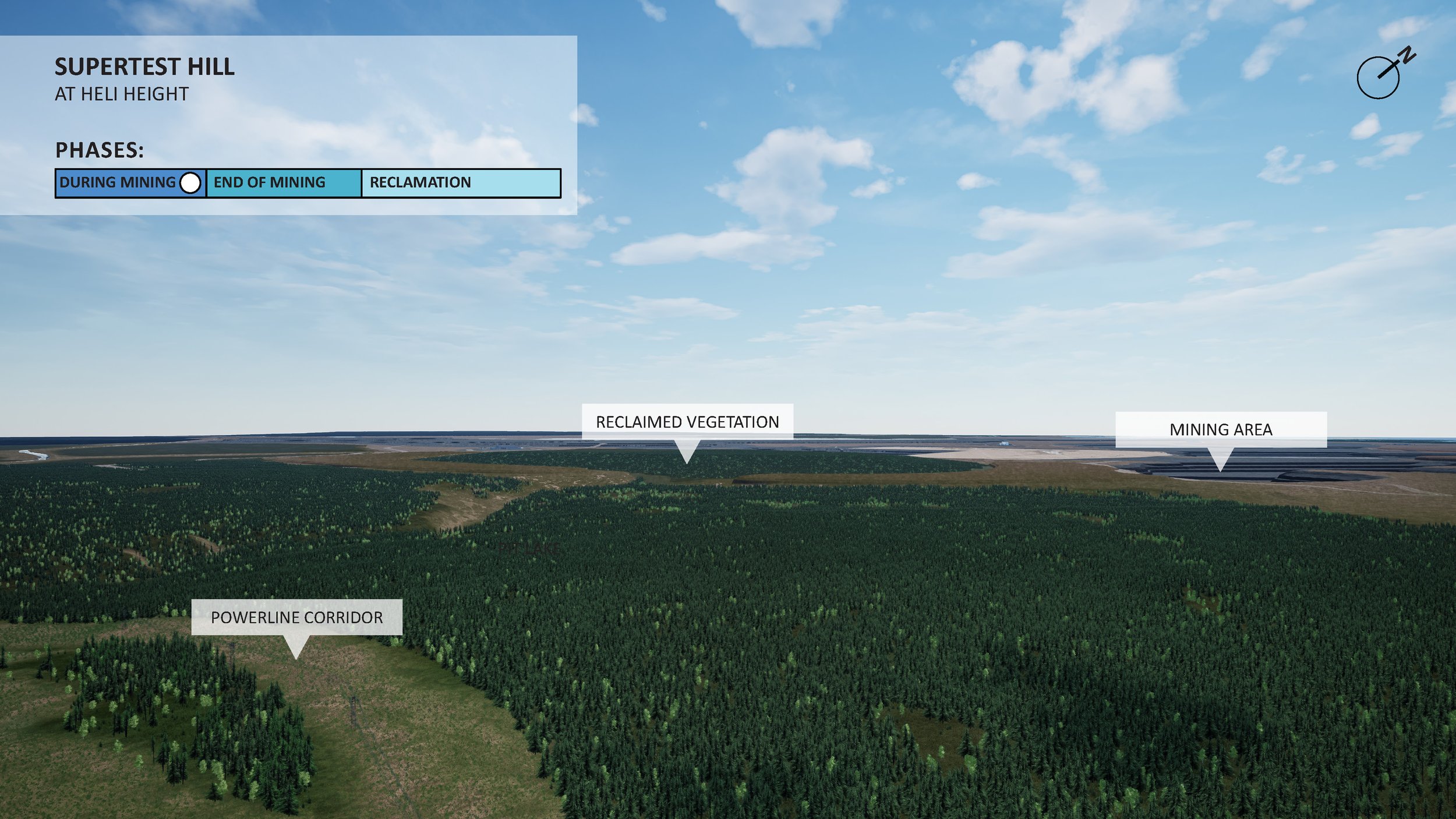
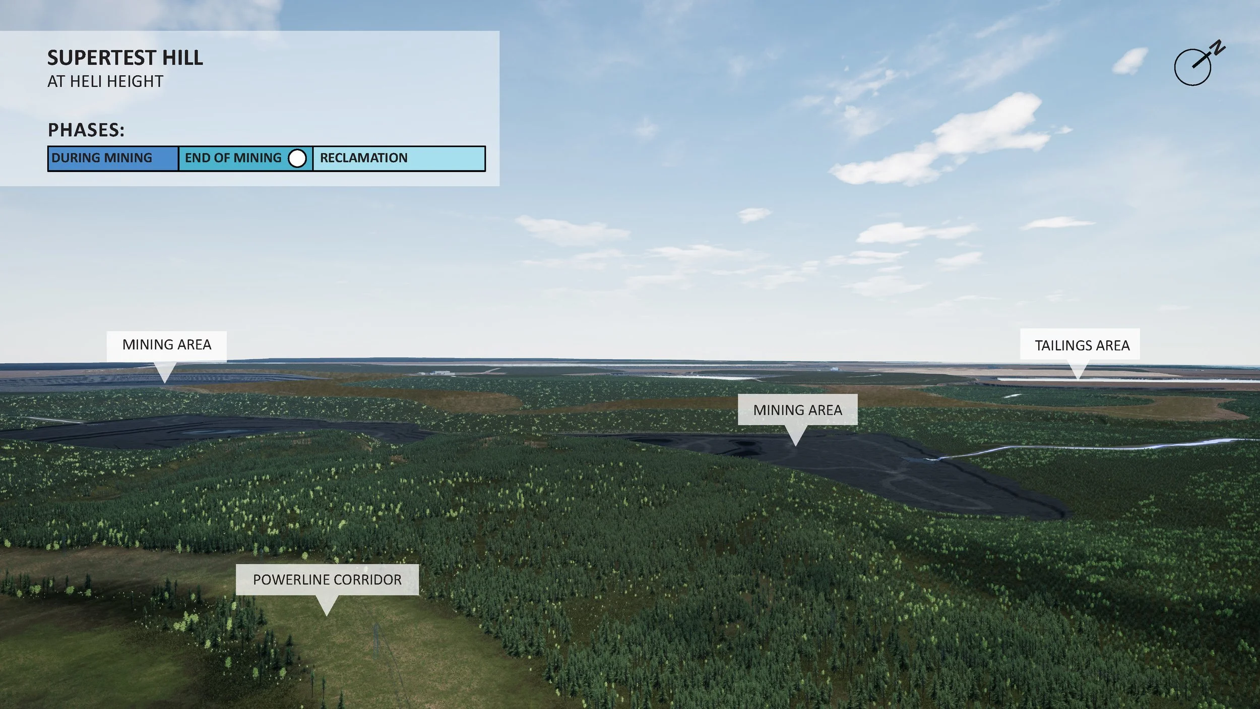
Suncor - Base Mine extension Site reclamation
I was part of a small team that created a Mine Site Reclamation model and engagement video that looked at showing the 3-Stages of mining process, During, End of Mining and Reclamation. Unreal Engine was used to create a Livecube, that was able to be deployed remotely for engagement and was scaleable to different devices, where they were also able to fly around a Live-model and leave comments alongside screenshots of concerns and questions they had. Additionally they could select which time-period they were engaging with (During mining, End of Mining, or Reclamation).
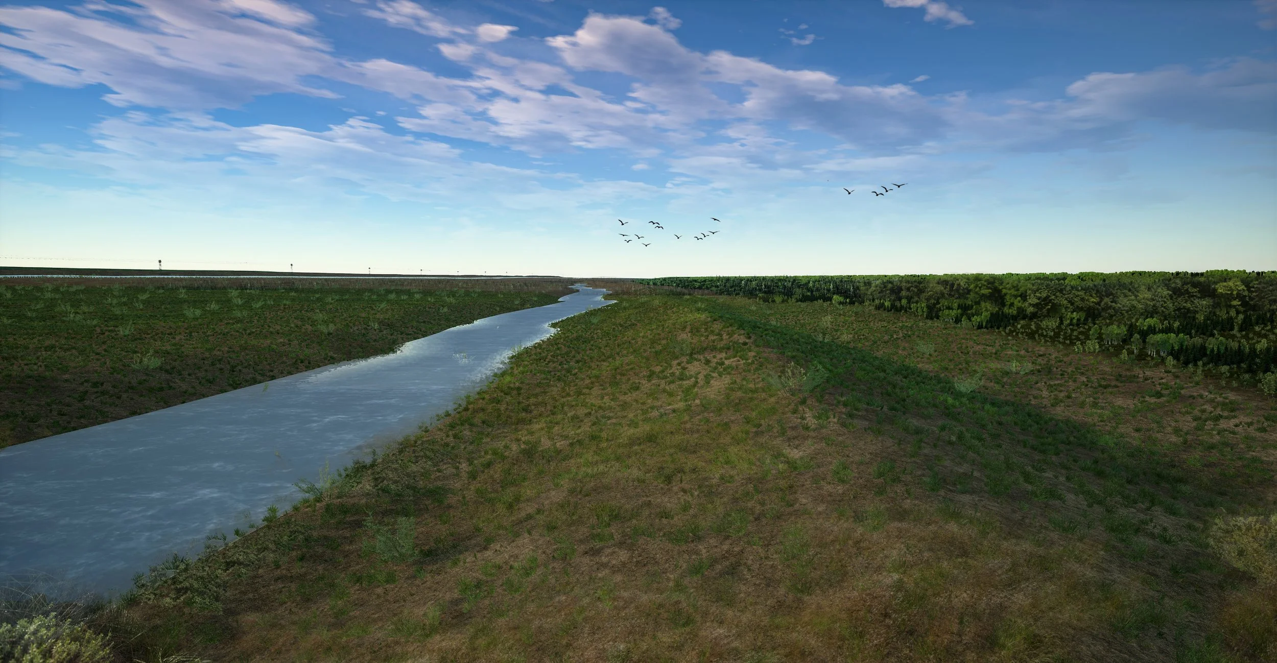

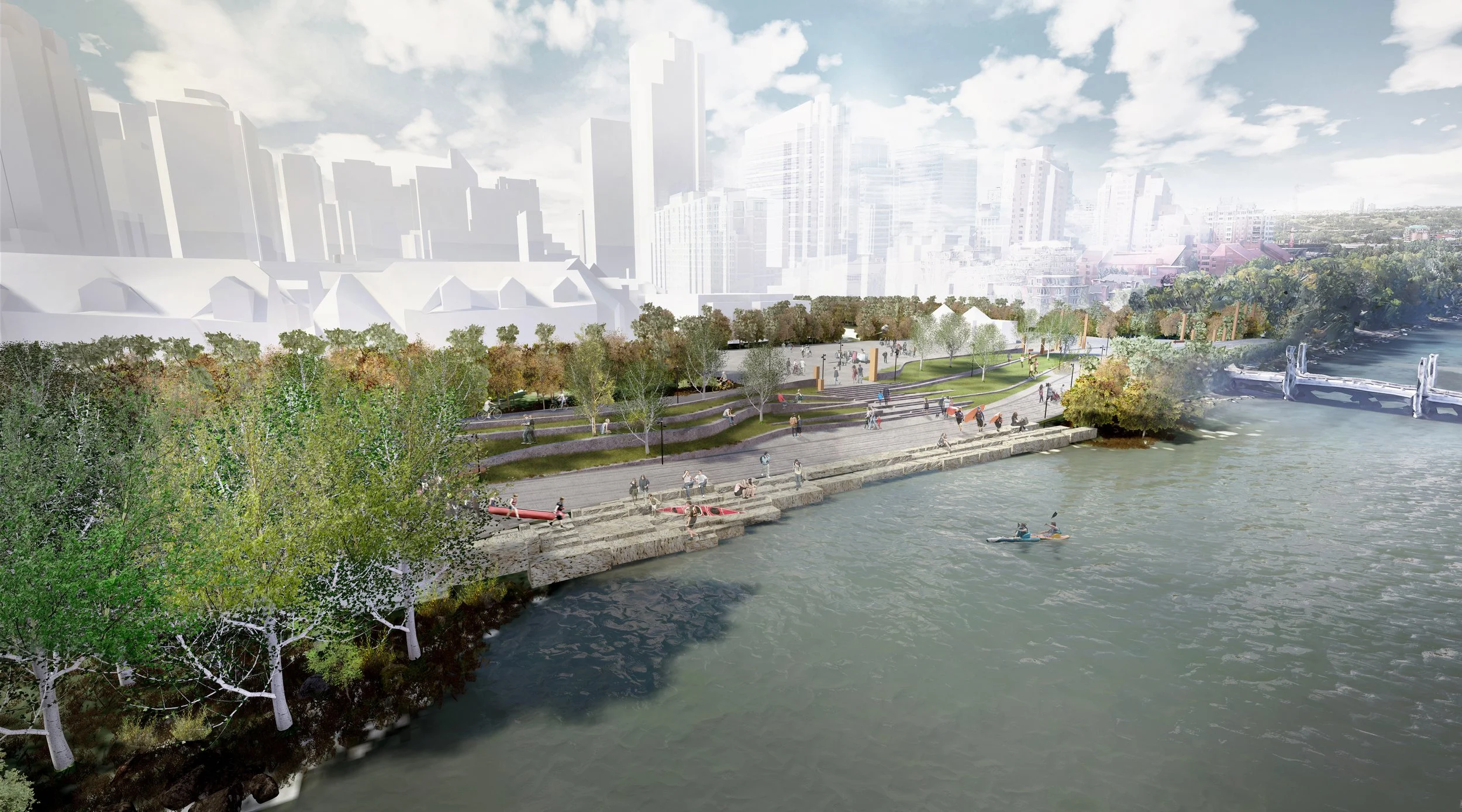
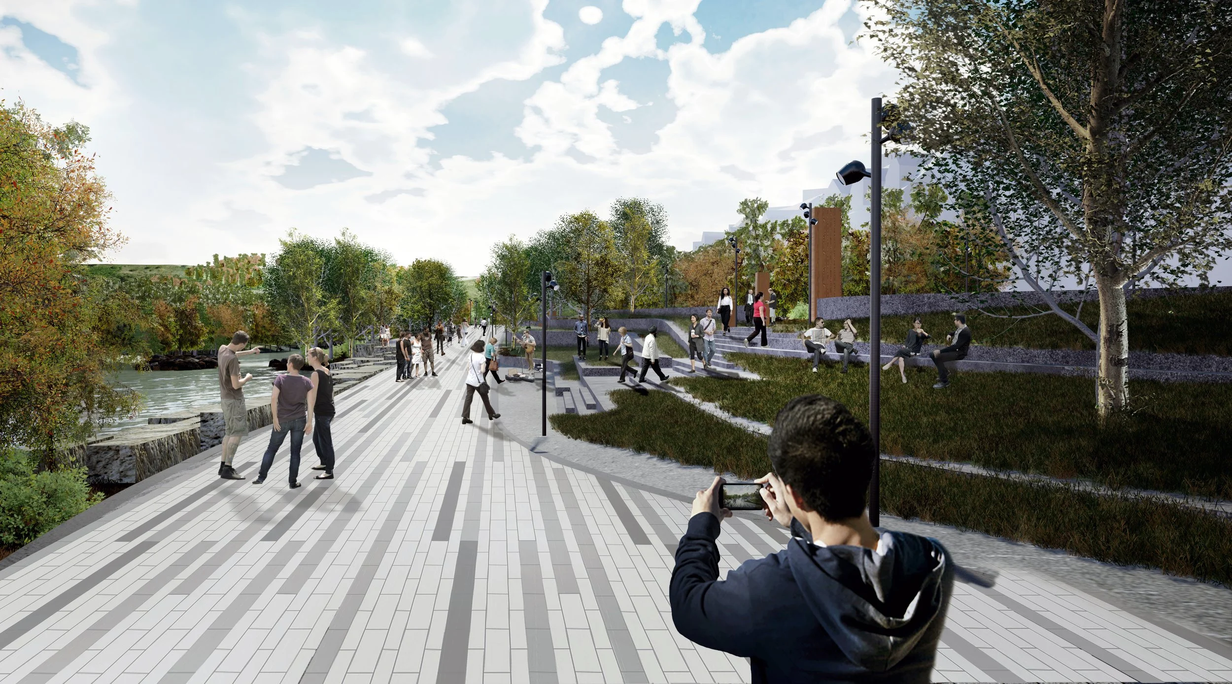
West Eau Claire - Flood Barrier
This video was created for engagement in order to show the proposed phase two of the West Eau Claire Flood Barrier project, this area has since been constructed and the model was changed since.
This was a successful public deployment of Augmented Reality and Web-GIS based engagement.

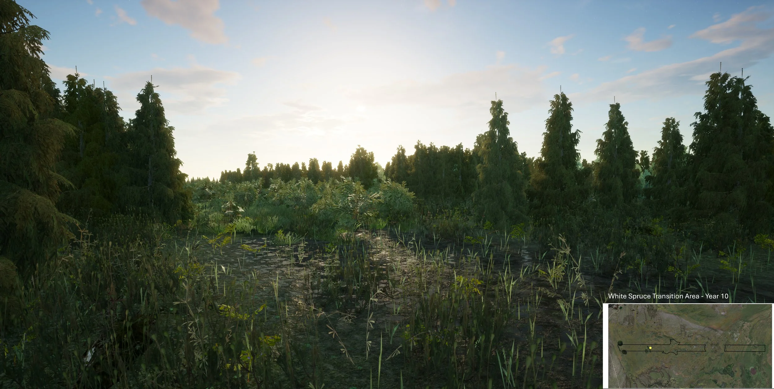
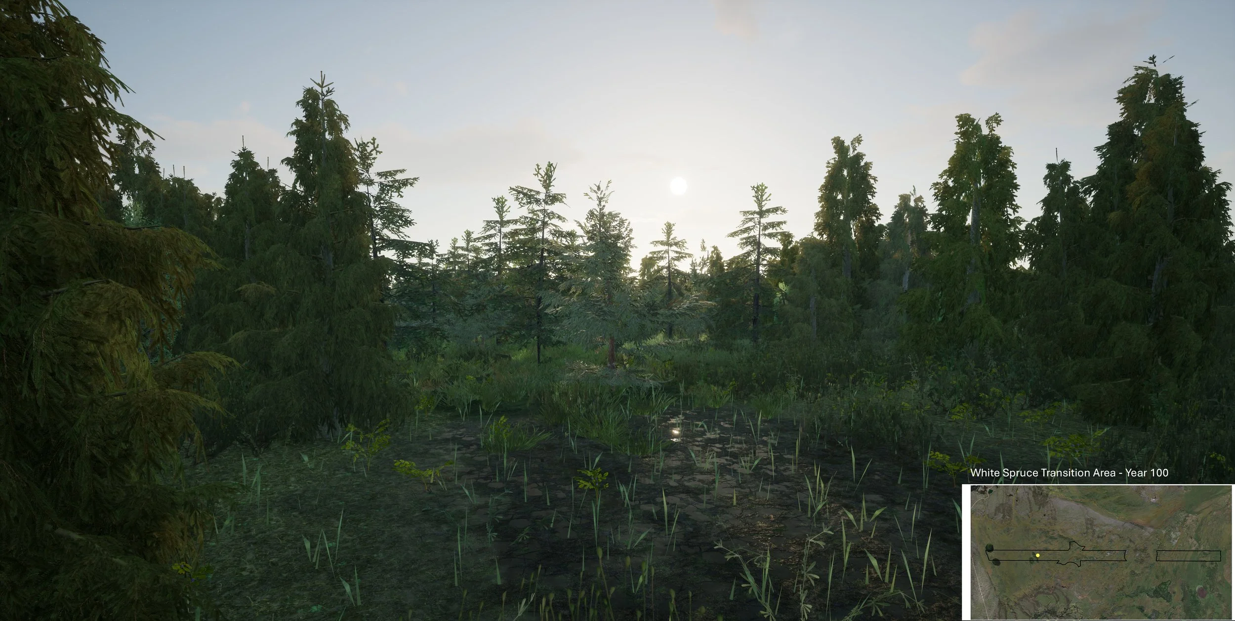
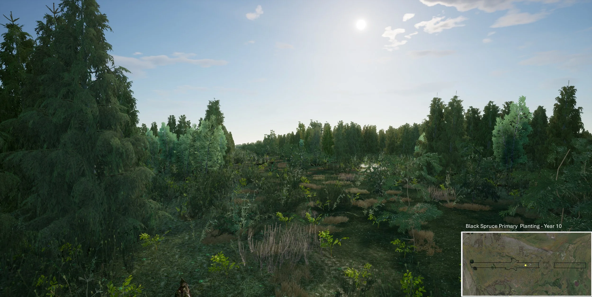
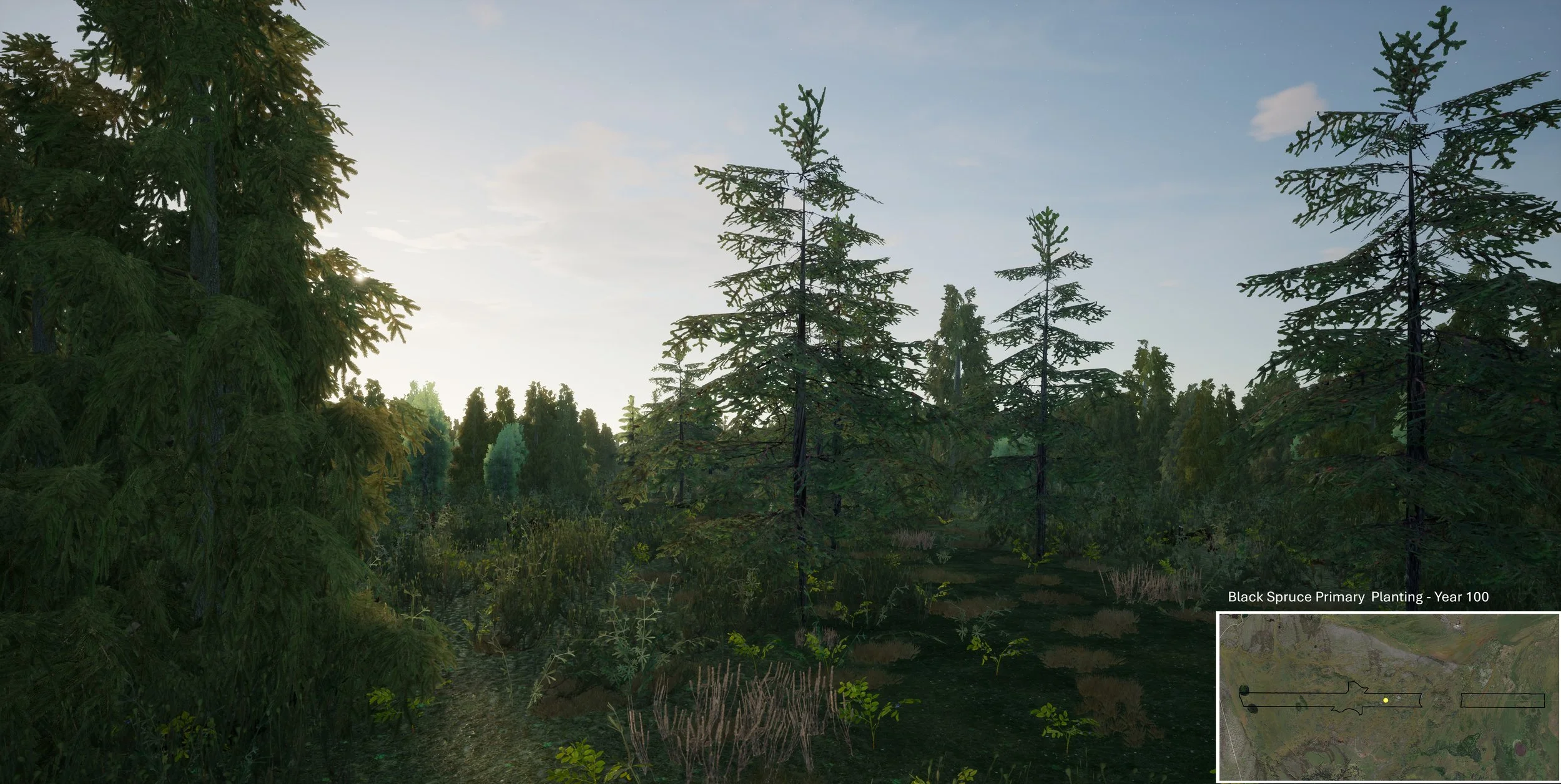
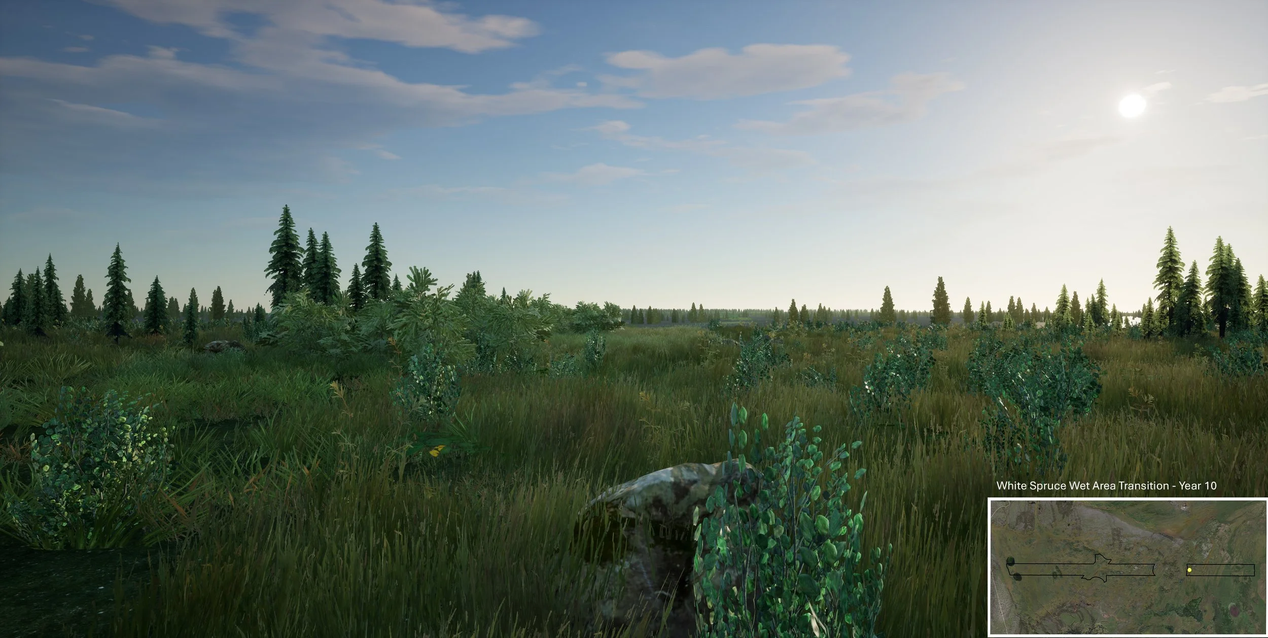
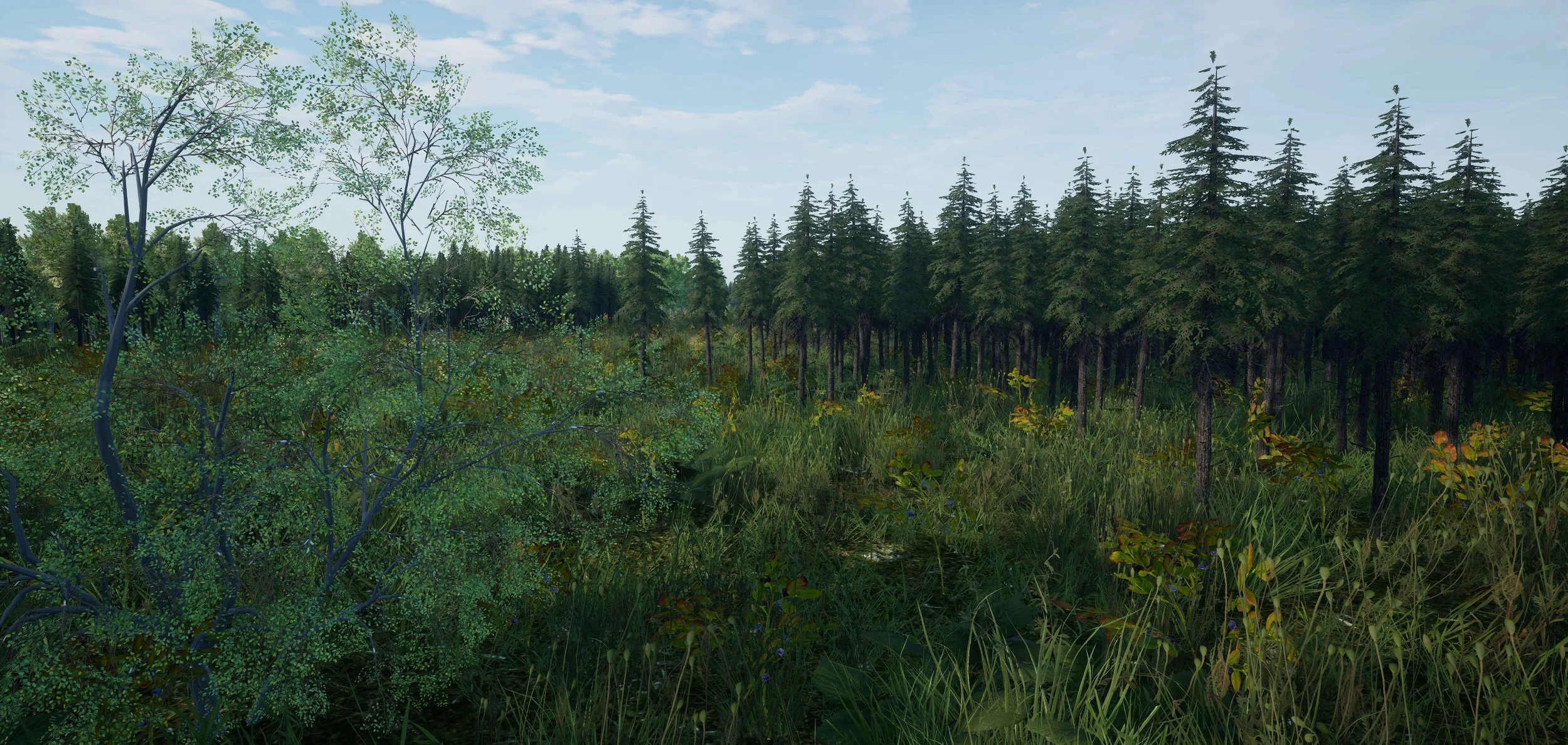
CCI Solutions - Cultline Reclamation
I was the visualization and GIS lead on a project where the end goal was a professionally narrated video rendering of the 25km+ long cutline just North of Fort McMurray that intersected important Caribou Habitat. Our video showed the different time-periods of 10 years after planting, as well as 100 years into the reclamation process. The video was then used to drive community engagement, and inform crucial questions that could help improve and drive future restoration projects to be as successful as CCI’s cutline restoration.